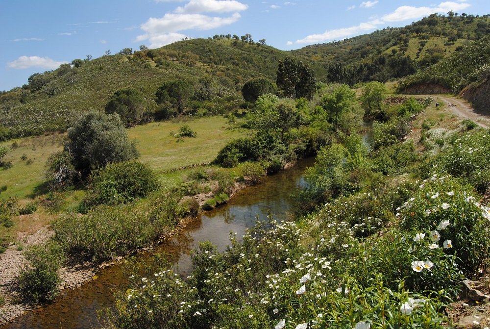
Serra do Caldeirão
This is the largest mountain range in the Algarve, stretching from the Ribeira de Odelouca to the plateaus of the north-eastern Algarve.
Geologically, it is made up of schists and grauvaques that form a landscape with rounded elevations and rugged relief with a dense hydrographic network. Its highest point is in the municipality of Loulé, at Pelados (589m).
Cork oak forests, mixed with dense medronhais and estevais cover a large part of the Caldeirão, allowing for the presence of a diverse fauna, including the endangered Iberian Lynx, the Bonelli's Eagle and the Short-toed Eagle.
A large part of this territory is part of the Natura 2000 Network, in the Caldeirão Site, covering parts of the municipalities of Loulé, S. Brás de Alportel, Silves and Tavira.